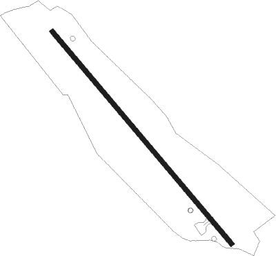
Urrao
Airport details
| Country | Colombia |
| State | Antioquia |
| Region | SK |
| Airspace | Bogota Ctr |
| Municipality | Urrao |
| Elevation | 6118ft (1865m) |
| Timezone | GMT -5 |
| Coordinates | 6.32524, -76.13979 |
| Magnetic var | |
| Type | land |
| Available since | X-Plane v10.40 |
| ICAO code | XSK000I |
| IATA code | URR |
| FAA code | n/a |
Communication
Nearby Points of Interest:
Cerro El Volador
-Enrique Olaya Herrera Airport
-Basilica of Our Lady of Candelaria
Nearby beacons
| code | identifier | dist | bearing | frequency |
|---|---|---|---|---|
| RNG | RIONEGRO (MEDELLIN) VOR/DME | 47.7 | 116° | 115.10 |
| UIB | QUIBDO VOR/DME | 48.4 | 218° | 113.20 |
| MRN | MARINILLA (RIONEGRO) VOR/DME | 49.5 | 100° | 113 |
Disclaimer
The information on this website is not for real aviation. Use this data with the X-Plane flight simulator only! Data taken with kind consent from X-Plane 12 source code and data files. Content is subject to change without notice.