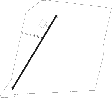
Bataysk - Mimino
Airport details
| Country | Russian Federation |
| State | Rostov Oblast |
| Region | UR |
| Airspace | Rostov-na-donu Ctr |
| Municipality | Ленина |
| Elevation | 126ft (38m) |
| Timezone | GMT +3 |
| Coordinates | 47.09194, 39.81449 |
| Magnetic var | |
| Type | land |
| Available since | X-Plane v10.40 |
| ICAO code | XU001Y |
| IATA code | n/a |
| FAA code | n/a |
Communication
| Mimino Mimino | 119.850 |
Nearby Points of Interest:
The Rich Well
-Church of the presentation of Jesus Christ at the Temple
-Rostov nautical classes building
-Main Choral Synagogue, Rostov-on-Don
-Residential building Nikolai Panin
-North Caucasus Railway Administration Building
-Myltsyn rent house
-Maximov house
-Kisin House
-Shenderov House
-Srabionov's house
-House of Soviets
-Gogoev female gymnasium
-Eberg's house in Rostov-on-Don
-Commercial Club Ensemble
-Ryndzyun hydropathic
-High party school building
-Building of the State Bank
-house Masalitin
-Monument to the 1st Cavalry Army
-Fortress of Saint Dimitry of Rostov
Nearby beacons
| code | identifier | dist | bearing | frequency |
|---|---|---|---|---|
| RD | PLATOV (ROSTOV-NA-DONU) NDB | 23.4 | 12° | 682 |
| ROS | PLATOV (ROSTOV-NA-DONU) VOR/DME | 25 | 16° | 117 |
| BA | BAGAYEVSKIY NDB | 26.1 | 67° | 11.750 |
| MS | YUZHNY (TAGANROG) NDB | 38.7 | 276° | 350 |
| SB | SAMBEK NDB | 39.6 | 359° | 414 |
| U | YUZHNY (TAGANROG) NDB | 41.2 | 276° | 735 |
| ER | YEGORLYKSKAYA NDB | 46.1 | 121° | 435 |
| KL | KRASNY SULIN NDB | 49 | 20° | 486 |
| KLN | SULIN DME | 49 | 20° | 114 |
Disclaimer
The information on this website is not for real aviation. Use this data with the X-Plane flight simulator only! Data taken with kind consent from X-Plane 12 source code and data files. Content is subject to change without notice.