Armavir - Armavir Tsentralny
Airport details
| Country | Russian Federation |
| State | Krasnodar Krai |
| Region | |
| Airspace | Rostov-na-donu Ctr |
| Municipality | Armavir |
| Elevation | 693ft (211m) |
| Timezone | GMT +3 |
| Coordinates | 44.97255, 41.09227 |
| Magnetic var | |
| Type | land |
| ICAO code | XU0021 |
| IATA code | n/a |
| FAA code | n/a |
Communication
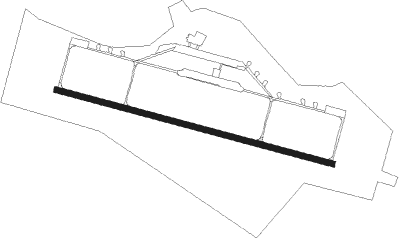
Runway info
| Runway 10 / 28 | ||
| length | 2495m (8186ft) | |
| bearing | 104° / 284° | |
| width | 51m (167ft) | |
| surface | concrete | |
Nearby beacons
| code | identifier | dist | bearing | frequency |
|---|---|---|---|---|
| OP | SHPAKOVSKOYE (STAVROPOL) NDB | 41.2 | 83° | 730 |
| O | SHPAKOVSKOYE (STAVROPOL) NDB | 42.8 | 82° | 358 |
| ND | BOLSHEVIK NDB | 59.4 | 313° | 507 |
Disclaimer
The information on this website is not for real aviation. Use this data with the X-Plane flight simulator only! Data taken with kind consent from X-Plane 12 source code and data files. Content is subject to change without notice.