Kolomyya - Kolomyia
Airport details
| Country | Ukraine |
| State | Ivano-Frankivsk Oblast |
| Region | |
| Airspace | Lviv Ctr |
| Municipality | Kolomyia |
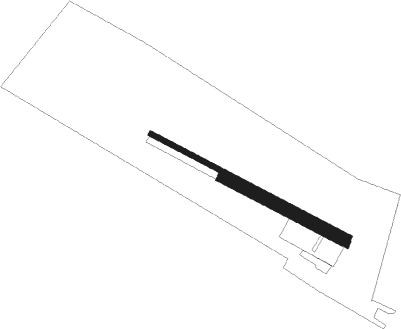
| Elevation | 971ft (296m) |
| Timezone | GMT +2 |
| Coordinates | 48.55201, 25.03940 |
| Magnetic var | |
| Type | land |
| Available since | X-Plane v10.40 |
| ICAO code | XUK0003 |
| IATA code | n/a |
| FAA code | n/a |
Communication
Nearby Points of Interest:
Category:Church of the Dormition, Khlibychyn
-Category:Orthodox church of the Annunciation in Pistyn
-Category:Church of Transfiguration in Rozhniv
-Category:Saint Michael church, Liuchky
-Category:Annunciation church in Verbovets
-Category:Saints Joachim and Anne church in Smodna
-Category:Church of Pentecost, Sokolivka
-Category:Church of the Conception of Saint John the Baptist, Cherhanivka
-Category:Church of the Ascension, Babyn
-Category:Saint Basil church, Richka
-Category:Holy Trinity church, Yavoriv
-Category:Saint Nicholas church, Ustia
-Category:Dominican church in Chernelytsia
-Saint Demetrius of Thessaloniki church in Tatariv
-Orthodox church of the Intercession of Our Lady in Biloberizka
-Category:Church of the Nativity, Pidhiria
-Stanislaw Moniuszko Theatre Building
-18 Sichovykh Striltsiv Street, Ivano-Frankivsk
-1 Tarnavskoho Street, Ivano-Frankivsk

Nearby beacons
| code | identifier | dist | bearing | frequency |
|---|---|---|---|---|
| FN | IVANO-FRANKIVSK NDB | 23.4 | 315° | 598 |
| IVF | IVANO-FRANKIVSK VOR/DME | 24.2 | 314° | 114.20 |
| CR | CHERNIVTSI NDB | 42.3 | 108° | 509 |
Disclaimer
The information on this website is not for real aviation. Use this data with the X-Plane flight simulator only! Data taken with kind consent from X-Plane 12 source code and data files. Content is subject to change without notice.