Khamti
Airport details
| Country | Myanmar |
| State | Sagaing |
| Region | VY |
| Airspace | Yangon Ctr |
| Municipality | Hkamti Township |
| Elevation | 671ft (205m) |
| Timezone | GMT +6.5 |
| Coordinates | 25.98875, 95.67469 |
| Magnetic var | |
| Type | land |
| Available since | X-Plane v10.40 |
| ICAO code | XVY0002 |
| IATA code | KHM |
| FAA code | n/a |
Communication
| Khamti Tower Freq | 118.700 |
| Khamti App Freq | 119.700 |
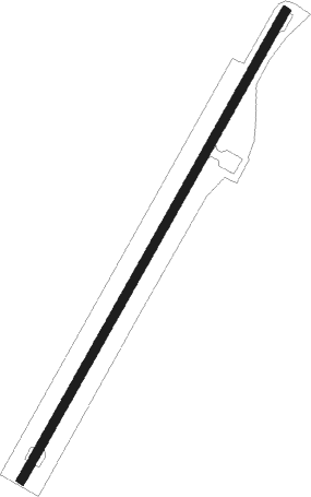
Runway info
| Runway 03 / 21 | ||
| length | 1834m (6017ft) | |
| bearing | 37° / 217° | |
| width | 30m (98ft) | |
| surface | asphalt | |
| displ threshold | 123m (404ft) / 0m (0ft) | |
| blast zone | 0m (0ft) / 23m (75ft) | |
Nearby beacons
| code | identifier | dist | bearing | frequency |
|---|---|---|---|---|
| KI | KANTI NDB | 0.2 | 65° | 230 |
Disclaimer
The information on this website is not for real aviation. Use this data with the X-Plane flight simulator only! Data taken with kind consent from X-Plane 12 source code and data files. Content is subject to change without notice.