Siau - Sitaro
Airport details
| Country | Indonesia |
| State | North Sulawesi |
| Region | WA |
| Airspace | Ujung Pandang Ctr |
| Municipality | Kepulauan Sangihe |
| Elevation | 153ft (47m) |
| Timezone | GMT +8 |
| Coordinates | 2.64313, 125.42136 |
| Magnetic var | |
| Type | land |
| Available since | X-Plane v10.40 |
| ICAO code | XWI000D |
| IATA code | n/a |
| FAA code | n/a |
Communication
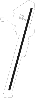
Runway info
| Runway 02 / 20 | ||
| length | 1334m (4377ft) | |
| bearing | 20° / 200° | |
| width | 30m (98ft) | |
| surface | asphalt | |
Disclaimer
The information on this website is not for real aviation. Use this data with the X-Plane flight simulator only! Data taken with kind consent from X-Plane 12 source code and data files. Content is subject to change without notice.