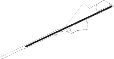
Claude Road - The Vale
Airport details
| Country | Australia |
| State | Tasmania |
| Region | YM |
| Airspace | Melbourne Ctr |
| Municipality | Kentish |
| Elevation | 721ft (220m) |
| Timezone | GMT +11 |
| Coordinates | -41.43000, 146.26334 |
| Magnetic var | |
| Type | land |
| Available since | X-Plane v10.40 |
| ICAO code | XY0009 |
| IATA code | n/a |
| FAA code | n/a |
Communication
| The Vale CTAF | 126.700 |
Nearby beacons
| code | identifier | dist | bearing | frequency |
|---|---|---|---|---|
| WYY | WYNYARD NDB | 36 | 308° | 302 |
| LT | LAUNCESTON VOR/DME | 43.2 | 97° | 112.60 |
| LT | LAUNCESTON (LAUNCESTON, TAS) NDB | 43.9 | 98° | 242 |
Disclaimer
The information on this website is not for real aviation. Use this data with the X-Plane flight simulator only! Data taken with kind consent from X-Plane 12 source code and data files. Content is subject to change without notice.