Inverloch - Bunurong Field
Airport details
| Country | Australia |
| State | Victoria |
| Region | YM |
| Airspace | Melbourne Ctr |
| Municipality | Inverloch |
| Elevation | 157ft (48m) |
| Timezone | GMT +11 |
| Coordinates | -38.61878, 145.66837 |
| Magnetic var | |
| Type | land |
| Available since | X-Plane v10.40 |
| ICAO code | XY000G |
| IATA code | n/a |
| FAA code | n/a |
Communication
| Bunurong Field CTAF | 126.700 |
Nearby Points of Interest:
Korumburra railway station
-Western Port
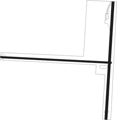
Runway info
Runway 17 / 35  | ||
| length | 817m (2680ft) | |
| bearing | 190° / 10° | |
| width | 18m (59ft) | |
| surface | grass | |
| displ threshold | 243m (797ft) / 0m (0ft) | |
| Runway 09 / 27 | ||
| length | 778m (2552ft) | |
| bearing | 96° / 276° | |
| width | 12m (39ft) | |
| surface | grass | |
Nearby beacons
| code | identifier | dist | bearing | frequency |
|---|---|---|---|---|
| LTV | LATROBE VALLEY NDB | 45.4 | 63° | 486 |
| MB | MOORABBIN (MELBOURNE) NDB | 47.2 | 318° | 398 |
| ML | MELBOURNE VOR/DME | 69.5 | 319° | 114.10 |
Disclaimer
The information on this website is not for real aviation. Use this data with the X-Plane flight simulator only! Data taken with kind consent from X-Plane 12 source code and data files. Content is subject to change without notice.