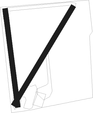
Farnsfield
Airport details
| Country | Australia |
| State | Queensland |
| Region | YB |
| Airspace | Brisbane Ctr |
| Municipality | Bundaberg Region |
| Elevation | 0ft (0m) |
| Timezone | GMT +10 |
| Coordinates | -25.11838, 152.29297 |
| Magnetic var | |
| Type | land |
| Available since | X-Plane v10.40 |
| ICAO code | XY0024 |
| IATA code | n/a |
| FAA code | n/a |
Communication
| Farnsfield CTAF | 126.900 |
Nearby Points of Interest:
Isis District War Memorial and Shire Council Chambers
-Paragon Theatre
-Childers Pharmaceutical Museum
-Christ Church, Childers
-Branyan Road State School
-St Andrews Uniting Church, Bundaberg
-4BU Radio Station building
-Fallon House, Bundaberg
-Bundaberg Post Office
-Burnett Bridge
-Kennedy Bridge, Bundaberg
-Saltwater Creek Railway Bridge
-Sir Anthony's Rest
-Howard War Memorial
-Gin Gin railway station
-Deep Creek Railway Bridge
-Brooweena War Memorial
-Pialba Memorial Cenotaph
-Baddow House
-Maryborough Base Hospital
-Pacific Islander Hospital and Cemetery site
-Second World War RAAF Buildings, Maryborough Airport
-Lamington Bridge
-Boolboonda State School
-Maryborough Post Office
Nearby beacons
| code | identifier | dist | bearing | frequency |
|---|---|---|---|---|
| BUD | BUNDABERG NDB | 12.8 | 7° | 302 |
Disclaimer
The information on this website is not for real aviation. Use this data with the X-Plane flight simulator only! Data taken with kind consent from X-Plane 12 source code and data files. Content is subject to change without notice.

