Jerrys Plains - Strowan
Airport details
| Country | Australia |
| State | New South Wales |
| Region | YB |
| Airspace | Brisbane Ctr |
| Municipality | Singleton Council |
| Elevation | 271ft (83m) |
| Timezone | GMT +11 |
| Coordinates | -32.46099, 150.86169 |
| Magnetic var | |
| Type | land |
| Available since | X-Plane v10.40 |
| ICAO code | XY0028 |
| IATA code | n/a |
| FAA code | n/a |
Communication
Nearby Points of Interest:
St Alban's Anglican Church
-Old Court Theatre
-Scone Post Office
-Scone Civic Theatre
-Greta railway station
-Dalwood House
-Colonial Cottage Museum
-Rising Sun Inn
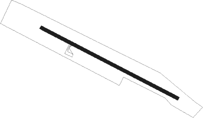
Runway info
| Runway 11 / 29 | ||
| length | 1441m (4728ft) | |
| bearing | 118° / 298° | |
| width | 30m (98ft) | |
| surface | asphalt | |
| displ threshold | 296m (971ft) / 0m (0ft) | |
Nearby beacons
| code | identifier | dist | bearing | frequency |
|---|---|---|---|---|
| SCO | SCONE NDB | 25.6 | 356° | 209 |
| WMD | WEST MAITLAND NDB | 38.2 | 114° | 224 |
| WLM | WILLIAMTOWN (NEWCASTLE) NDB | 53 | 109° | 365 |
| WLM | WILLIAMTOWN (NEWCASTLE) TACAN | 53.1 | 109° | 113.30 |
| QDI | QUIRINDI NDB | 60.6 | 341° | 386 |
Disclaimer
The information on this website is not for real aviation. Use this data with the X-Plane flight simulator only! Data taken with kind consent from X-Plane 12 source code and data files. Content is subject to change without notice.