Angaston - Angaston/hutton Vale
Airport details
| Country | Australia |
| State | South Australia |
| Region | YM |
| Airspace | Melbourne Ctr |
| Municipality | Angaston |
| Elevation | 1243ft (379m) |
| Timezone | GMT +10.5 |
| Coordinates | -34.51639, 139.10861 |
| Magnetic var | |
| Type | land |
| Available since | X-Plane v10.32 |
| ICAO code | XY0030 |
| IATA code | n/a |
| FAA code | n/a |
Communication
Nearby Points of Interest:
Angle Vale Bridge
-Yatala Labour Prison
-Dry Creek explosives depot
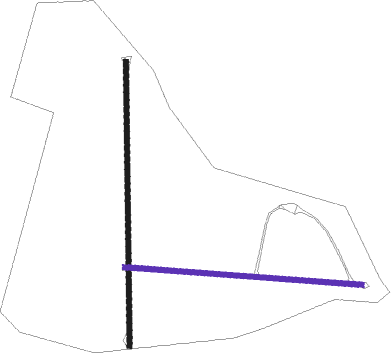
Runway info
Runway 18 / 36  | ||
| length | 1073m (3520ft) | |
| bearing | 185° / 5° | |
| width | 18m (59ft) | |
| surface | grass | |
| Runway 09 / 27 | ||
| length | 897m (2943ft) | |
| bearing | 97° / 277° | |
| width | 18m (59ft) | |
| surface | grass | |
Nearby beacons
| code | identifier | dist | bearing | frequency |
|---|---|---|---|---|
| EDN | EDINBURGH (ADELAIDE) TACAN | 27 | 249° | 110.30 |
| PF | PARAFIELD (ADELAIDE) NDB | 28.9 | 240° | 416 |
| AD | ADELAIDE VOR/DME | 38.7 | 234° | 116.40 |
Disclaimer
The information on this website is not for real aviation. Use this data with the X-Plane flight simulator only! Data taken with kind consent from X-Plane 12 source code and data files. Content is subject to change without notice.