Mt Archer - Archerfalls Airfield
Airport details
| Country | Australia |
| State | Queensland |
| Region | |
| Airspace | Brisbane Ctr |
| Municipality | Somerset Regional |
| Elevation | 0ft (0m) |
| Timezone | GMT +10 |
| Coordinates | -26.97533, 152.66681 |
| Magnetic var | |
| Type | land |
| Available since | X-Plane v11.30 |
| ICAO code | XYAFA |
| IATA code | n/a |
| FAA code | n/a |
Communication
| Archerfalls Airfield CTAF | 126.700 |
| Archerfalls Airfield Brisbane Center | 129.000 |
Nearby Points of Interest:
Bankfoot House
-Glass House Mountains
-Crohamhurst Observatory
-Cressbrook Homestead
-Anzac Avenue Memorial Trees
-Yimbun Railway Tunnel
-Harlin Rail Bridge
-Fairview, Maleny
-Toogoolawah War Memorial
-St Andrew's Church Hall, Toogoolawah
-St Andrew's Rectory, Toogoolawah
-Glass House Mountains National Park
-Oaklands Sugar Mill
-Dularcha Railway Tunnel
-St Agnes Anglican Church, Esk
-St Andrews Presbyterian Church, Esk
-Montville Memorial Precinct
-Bellevue Homestead
-Linville War Memorial
-North Coast Roadside Rest Areas
-Strathpine Honour Board
-Anzac Avenue
-Palmwoods-Buderim Tramway
-Hoop Pines, Bald Hills
-Old Caloundra Light
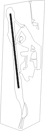
Runway info
| Runway 01 / 19 | ||
| length | 576m (1890ft) | |
| bearing | 358° / 178° | |
| width | 12m (39ft) | |
| surface | grass | |
| displ threshold | 0m (0ft) / 58m (190ft) | |
Nearby beacons
| code | identifier | dist | bearing | frequency |
|---|---|---|---|---|
| SU | SUNSHINE COAST VOR/DME | 32 | 48° | 114.20 |
| SU | SUNSHINE COAST NDB | 32.3 | 48° | 380 |
| BN | BRISBANE VOR/DME | 34.4 | 130° | 113.20 |
| AMB | AMBERLEY TACAN | 40 | 176° | 108.10 |
| OK | OAKEY VOR/DME | 55.7 | 245° | 112.90 |
| OK | OAKEY NDB | 56.4 | 244° | 254 |
| BML | BROMELTON NDB | 60.7 | 167° | 374 |
Disclaimer
The information on this website is not for real aviation. Use this data with the X-Plane flight simulator only! Data taken with kind consent from X-Plane 12 source code and data files. Content is subject to change without notice.