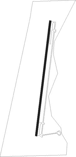
Hoeyang - Hyon Ni
Airport details
| Country | North Korea |
| State | Kangwon |
| Region | |
| Airspace | Pyongyang Ctr |
| Municipality | Sepo County |
| Elevation | 1913ft (583m) |
| Timezone | GMT +9 |
| Coordinates | 38.60157, 127.44875 |
| Magnetic var | |
| Type | land |
| Available since | X-Plane v10.51 |
| ICAO code | XZK02 |
| IATA code | n/a |
| FAA code | n/a |
Communication
Nearby Points of Interest:
Hwajeogyeon
-Mount Kumgang
Nearby beacons
| code | identifier | dist | bearing | frequency |
|---|---|---|---|---|
| CJ | CHUCHON NDB | 44.8 | 159° | 360 |
| YJU | YANGJU VOR/DME | 55.6 | 208° | 114.90 |
Disclaimer
The information on this website is not for real aviation. Use this data with the X-Plane flight simulator only! Data taken with kind consent from X-Plane 12 source code and data files. Content is subject to change without notice.