Taechon
Airport details
| Country | North Korea |
| State | North Pyongan |
| Region | |
| Airspace | Pyongyang Ctr |
| Municipality | Taechon County |
| Elevation | 118ft (36m) |
| Timezone | GMT +9 |
| Coordinates | 39.90536, 125.47814 |
| Magnetic var | |
| Type | land |
| Available since | X-Plane v10.40 |
| ICAO code | XZK13 |
| IATA code | n/a |
| FAA code | n/a |
Communication
Nearby Points of Interest:
Kujang County
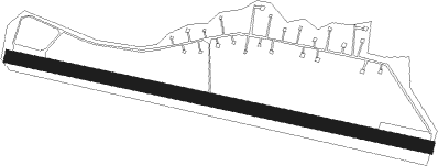
Runway info
| Runway 11 / 29 | ||
| length | 1983m (6506ft) | |
| bearing | 103° / 283° | |
| width | 60m (197ft) | |
| surface | asphalt | |
Nearby beacons
| code | identifier | dist | bearing | frequency |
|---|---|---|---|---|
| GK | PYONGYANG VOR/DME | 42.2 | 164° | 111.40 |
Disclaimer
The information on this website is not for real aviation. Use this data with the X-Plane flight simulator only! Data taken with kind consent from X-Plane 12 source code and data files. Content is subject to change without notice.