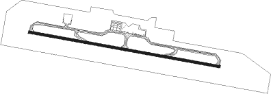
Ulaanbaatar - Chinggis Khaan Intl
Airport details
| Country | Mongolia |
| State | Töv |
| Region | ZM |
| Airspace | Ulaanbaatar Ctr |
| Municipality | Sergelen |
| Elevation | 4483ft (1366m) |
| Timezone | GMT +8 |
| Coordinates | 47.64695, 106.81990 |
| Magnetic var | |
| Type | land |
| Available since | X-Plane v10.45 |
| ICAO code | XZMUB |
| IATA code | UBN |
| FAA code | n/a |
Communication
| Chinggis Khaan Intl ATIS | 123.700 |
| Chinggis Khaan Intl Ulaanbaatar Tower | 129.000 |
| Chinggis Khaan Intl Ulaanbaatar Approach | 120.000 |
| Chinggis Khaan Intl Ulaanbaatar Departure | 129.000 |
Nearby beacons
| code | identifier | dist | bearing | frequency |
|---|---|---|---|---|
| SER | SERGELEN VOR/DME | 0.1 | 200° | 116.90 |
| IM | ULAANBAATAR NDB | 13.1 | 340° | 450 |
| UDA | ULAANBAATAR VOR/DME | 13.7 | 339° | 116 |
| DA | ULAANBAATAR NDB | 14.4 | 337° | 520 |
Disclaimer
The information on this website is not for real aviation. Use this data with the X-Plane flight simulator only! Data taken with kind consent from X-Plane 12 source code and data files. Content is subject to change without notice.