Park River - Park River W C Skjerven Field
Airport details
| Country | United States of America |
| State | North Dakota |
| Region | K3 |
| Airspace | Minneapolis Ctr |
| Municipality | Park River |
| Elevation | 1103ft (336m) |
| Timezone | GMT -6 |
| Coordinates | 48.39408, -97.78078 |
| Magnetic var | |
| Type | land |
| Available since | X-Plane v10.40 |
| ICAO code | Y37 |
| IATA code | n/a |
| FAA code | Y37 |
Communication
| Park River W C Skjerven Field CTAF/UNICOM | 122.800 |
Nearby Points of Interest:
Pisek School
-Grafton State School
-Walsh County Courthouse
-St. Stanislaus Church Historic District
-RSL-3
-Pembina County Courthouse
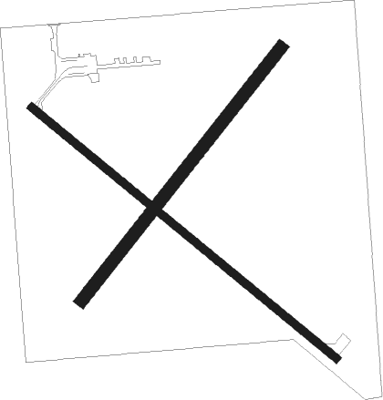
Runway info
Runway 13 / 31  | ||
| length | 944m (3097ft) | |
| bearing | 123° / 303° | |
| width | 18m (60ft) | |
| surface | asphalt | |
| Runway 04 / 22 | ||
| length | 769m (2523ft) | |
| bearing | 54° / 234° | |
| width | 30m (100ft) | |
| surface | grass | |
Nearby beacons
| code | identifier | dist | bearing | frequency |
|---|---|---|---|---|
| RDR | RED RIVER (GRAND FORKS) TACAN | 30.2 | 139° | 116.40 |
| GFK | GRAND FORKS VOR/DME | 35.5 | 126° | 114.30 |
| HML | HUMBOLDT TACAN | 38.8 | 54° | 112.40 |
| GF | HISER NDB | 40.7 | 132° | 345 |
Disclaimer
The information on this website is not for real aviation. Use this data with the X-Plane flight simulator only! Data taken with kind consent from X-Plane 12 source code and data files. Content is subject to change without notice.