Crandon - Crandon Enterprise
Airport details
| Country | United States of America |
| State | Wisconsin |
| Region | K5 |
| Airspace | Minneapolis Ctr |
| Municipality | Town of Nashville |
| Elevation | 1648ft (502m) |
| Timezone | GMT -6 |
| Coordinates | 45.52265, -88.92844 |
| Magnetic var | |
| Type | land |
| Available since | X-Plane v10.30 |
| ICAO code | Y55 |
| IATA code | n/a |
| FAA code | n/a |
Communication
| Crandon Enterprise CTAF | 122.900 |
Nearby Points of Interest:
Camp Five Museum
-Chicago and North-Western Land Office
-Minertown-Oneva
-Solon and Mathilda Sutliff House
-Oneida County Courthouse
-First National Bank
-Armstrong Creek Bridge
-Bose Lake Hemlock Hardwoods
-Langlade County Courthouse
-Antigo Opera House
-Antigo Depot
-Antigo Post Office
-Antigo Public Library and Deleglise Cabin
-Sunset Point
-Anvil Lake Campground Shelter
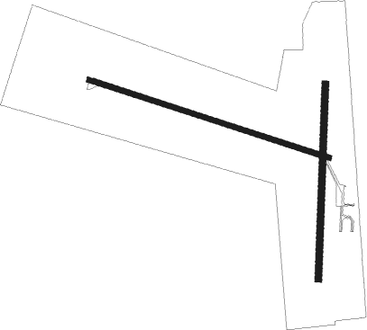
Runway info
Runway 12 / 30  | ||
| length | 1083m (3553ft) | |
| bearing | 106° / 286° | |
| width | 23m (75ft) | |
| surface | asphalt | |
| Runway 01 / 19 | ||
| length | 837m (2746ft) | |
| bearing | 9° / 189° | |
| width | 30m (100ft) | |
| surface | grass | |
Nearby beacons
| code | identifier | dist | bearing | frequency |
|---|---|---|---|---|
| RHI | RHINELANDER VOR/DME | 23.2 | 282° | 109.20 |
| RH | ARSHA (RHINELANDER) NDB | 29.7 | 279° | 272 |
| DO | DOUGY (MINOCQUA WOODRUFF) NDB | 38.5 | 291° | 236 |
| IMT | IRON MOUNTAIN VOR/DME | 38.5 | 70° | 111.20 |
| RXW | WATERSMEET NDB | 48.2 | 335° | 407 |
| AUW | WAUSAU VOR/DME | 49.2 | 224° | 111.60 |
| GRB | GREEN BAY VORTAC | 65.9 | 143° | 115.50 |
Instrument approach procedures
| runway | airway (heading) | route (dist, bearing) |
|---|---|---|
| RW12 | WOKOG (106°) | WOKOG 4400ft |
| RNAV | WOKOG 4400ft ZOBEB (6mi, 106°) 3500ft HUKAS (3mi, 106°) 2440ft Y55 (3mi, 107°) 1690ft (5360mi, 117°) 2050ft YITUB (5349mi, 297°) 4400ft YITUB (turn) | |
| RW30 | YITUB (286°) | YITUB 4400ft |
| RNAV | YITUB 4400ft ZIRVU (6mi, 286°) 3500ft WITKI (3mi, 286°) 2580ft Y55 (3mi, 286°) 1668ft (5360mi, 117°) 1936ft WOKOG (5371mi, 297°) 4400ft WOKOG (turn) |
Disclaimer
The information on this website is not for real aviation. Use this data with the X-Plane flight simulator only! Data taken with kind consent from X-Plane 12 source code and data files. Content is subject to change without notice.