Parshall - Parshall Hankins
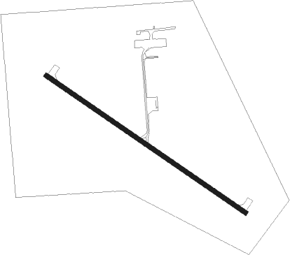
Airport details
| Country | United States of America |
| State | North Dakota |
| Region | K3 |
| Airspace | Minneapolis Ctr |
| Municipality | Parshall Segment |
| Elevation | 2029ft (618m) |
| Timezone | GMT -6 |
| Coordinates | 47.93568, -102.14214 |
| Magnetic var | |
| Type | land |
| Available since | X-Plane v10.40 |
| ICAO code | Y74 |
| IATA code | n/a |
| FAA code | Y74 |
Communication
| Parshall Hankins CTAF | 122.900 |
Nearby Points of Interest:
Wabek Consolidated School
-Mountrail County Courthouse
Nearby beacons
| code | identifier | dist | bearing | frequency |
|---|---|---|---|---|
| MOT | MINOT VOR/DME | 39.4 | 69° | 117.10 |
| MIB | DEERING (MINOT) TACAN | 42.3 | 58° | 114.90 |
| HZE | HAZEN NDB | 44.4 | 139° | 414 |
Disclaimer
The information on this website is not for real aviation. Use this data with the X-Plane flight simulator only! Data taken with kind consent from X-Plane 12 source code and data files. Content is subject to change without notice.