East Jordan - East Jordan City
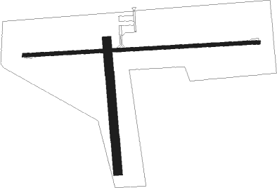
Airport details
| Country | United States of America |
| State | Michigan |
| Region | K5 |
| Airspace | Minneapolis Ctr |
| Municipality | South Arm Township |
| Elevation | 642ft (196m) |
| Timezone | GMT -5 |
| Coordinates | 45.13009, -85.10659 |
| Magnetic var | |
| Type | land |
| Available since | X-Plane v10.40 |
| ICAO code | Y94 |
| IATA code | n/a |
| FAA code | Y94 |
Communication
| EAST JORDAN CITY CTAF/UNICOM | 122.900 |
Nearby Points of Interest:
East Jordan Lumber Company Store Building
-Votruba Block
-Boyne City Water Works Building
-Boyne City Central Historic District
-Jordan River Pathway
-Horton Bay School
-Horton Bay General Store
-Holtz Site
-Henry Richardi House
-Ernest Hemingway Cottage
-M-88–Intermediate River Bridge
-Antrim County Courthouse
-Castle Farms
-Chicago and West Michigan Railroad Charlevoix Station
-Charlevoix City Park Site
-Pine River Site
-O'Neill Site
-Mt. McSauba Site
-Frank Lesher House
-Sarah Pennington House
-I. N. Debenham House
-A. Malin House
-Bert and John Hobbins House
-Grace Methodist Episcopal Church
-Elias Meyers House

Nearby beacons
| code | identifier | dist | bearing | frequency |
|---|---|---|---|---|
| GL | BANGU (GAYLORD) NDB | 14.4 | 111° | 375 |
| GLR | GAYLORD VOR/DME | 18.4 | 106° | 109.20 |
| GYG | GRAYLING NDB | 25.7 | 144° | 359 |
| TV | GWENN (TRAVERSE CITY) NDB | 27.4 | 219° | 365 |
| CGG | GRAYLING VOR | 31.3 | 140° | 109.80 |
| TVC | TRAVERSE CITY VOR/DME | 33.5 | 224° | 114.60 |
| PLN | PELLSTON VORTAC | 35.3 | 41° | 111.80 |
| MA | WEXOR (CADILLAC) NDB | 56.8 | 206° | 336 |
Disclaimer
The information on this website is not for real aviation. Use this data with the X-Plane flight simulator only! Data taken with kind consent from X-Plane 12 source code and data files. Content is subject to change without notice.