Aldinga
Airport details
| Country | Australia |
| State | South Australia |
| Region | YM |
| Airspace | Melbourne Ctr |
| Municipality | Adelaide |
| Elevation | 105ft (32m) |
| Timezone | GMT +10.5 |
| Coordinates | -35.28889, 138.49333 |
| Magnetic var | |
| Type | land |
| Available since | X-Plane v10.30 |
| ICAO code | YADG |
| IATA code | n/a |
| FAA code | n/a |
Communication
| Aldinga CTAF | 127.150 |
Nearby Points of Interest:
Clarendon Weir
-Happy Valley Reservoir
-Mount Breckan
-Benacre
-Torrens Building
-Queen's Theatre
-Adelaide Town Hall
-Beehive Corner
-Parliament House of South Australia
-State Library of South Australia
-Government House
-Bonython Hall
-Attunga
-Torrens Parade Ground
-North Road Cemetery
-Port Adelaide Lighthouse
-Yatala Labour Prison
-Dry Creek explosives depot
-Lake Alexandrina
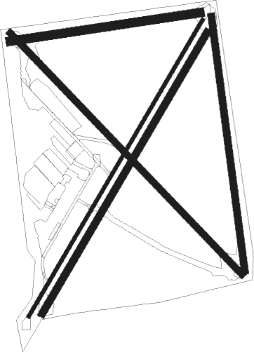
Runway info
Runway 03 / 21  | ||
| length | 905m (2969ft) | |
| bearing | 41° / 221° | |
| width | 10m (33ft) | |
| surface | asphalt | |
| Runway 03R / 21L | ||
| length | 857m (2812ft) | |
| bearing | 41° / 221° | |
| width | 18m (59ft) | |
| surface | grass | |
| Runway 14 / 32 | ||
| length | 880m (2887ft) | |
| bearing | 135° / 315° | |
| width | 18m (59ft) | |
| surface | grass | |
| Runway 08 / 26 | ||
| length | 504m (1654ft) | |
| bearing | 87° / 267° | |
| width | 23m (75ft) | |
| surface | grass | |
| Runway 18 / 36 | ||
| length | 673m (2208ft) | |
| bearing | 176° / 356° | |
| width | 18m (59ft) | |
| surface | grass | |
Nearby beacons
| code | identifier | dist | bearing | frequency |
|---|---|---|---|---|
| AD | ADELAIDE VOR/DME | 20.5 | 5° | 116.40 |
| PF | PARAFIELD (ADELAIDE) NDB | 30.3 | 16° | 416 |
| EDN | EDINBURGH (ADELAIDE) TACAN | 35.5 | 12° | 110.30 |
Disclaimer
The information on this website is not for real aviation. Use this data with the X-Plane flight simulator only! Data taken with kind consent from X-Plane 12 source code and data files. Content is subject to change without notice.