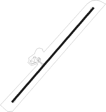
Newman - West Angelas
Airport details
| Country | Australia |
| State | Western Australia |
| Region | YM |
| Airspace | Melbourne Ctr |
| Municipality | Newman |
| Elevation | 2346ft (715m) |
| Timezone | GMT +8 |
| Coordinates | -23.13500, 118.70667 |
| Magnetic var | |
| Type | land |
| Available since | X-Plane v10.40 |
| ICAO code | YANG |
| IATA code | WLP |
| FAA code | n/a |
Communication
| West Angelas AWIS | 133.875 |
| West Angelas CTAF | 127.050 |
Runway info
| Runway 04 / 22 | ||
| length | 1902m (6240ft) | |
| bearing | 48° / 228° | |
| width | 30m (98ft) | |
| surface | asphalt | |
| displ threshold | 0m (0ft) / 60m (197ft) | |
Nearby beacons
| code | identifier | dist | bearing | frequency |
|---|---|---|---|---|
| PBO | PARABURDOO NDB | 53.3 | 267° | 278 |
| PBO | PARABURDOO VOR/DME | 53.5 | 268° | 116.90 |
Instrument approach procedures
| runway | airway (heading) | route (dist, bearing) |
|---|---|---|
| RW04 | WLPSA (43°) | WLPSA 5300ft WLPSI (5mi, 350°) 5300ft |
| RW04 | WLPSB (61°) | WLPSB 5300ft WLPSI (5mi, 63°) 5300ft |
| RNAV | WLPSI 5300ft WLPSF (5mi, 63°) 4700ft WLPSM (6mi, 62°) 2587ft WLPSH (3mi, 62°) (6981mi, 281°) 5300ft | |
| RW22 | WLPNE (247°) | WLPNE 5300ft WLPNI (5mi, 257°) 5300ft |
| RW22 | WLPNG (265°) | WLPNG 5300ft WLPNI (5mi, 323°) 5300ft |
| RNAV | WLPNI 5300ft WLPNF (5mi, 257°) 4250ft WLPNM (5mi, 228°) 2499ft WLPNH (4mi, 228°) (6977mi, 281°) 5300ft |
Disclaimer
The information on this website is not for real aviation. Use this data with the X-Plane flight simulator only! Data taken with kind consent from X-Plane 12 source code and data files. Content is subject to change without notice.
