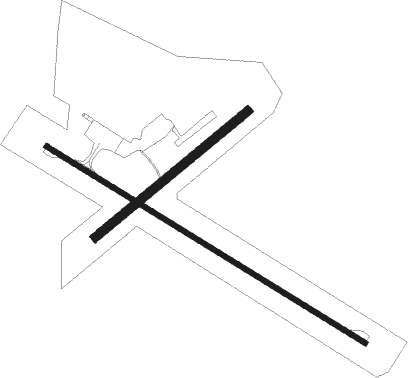
Airports for X-Plane offers a convenient way to explore airports and their related communication information for the X-Plane flight simulator. It only uses data from the X-Plane flight simulator itself, and is therefore more reliable than the data that comes from real aviation websites. You can search for airports by using the ICAO code, or browse for airports per country and state. The information displayed is categorized by airport details, runway information, airport communication, approach frequencies (ILS and Glidepath details), details of nearby beacons, SIDs, STARs and approach procedures.

landing area aircraft carrier aircraft bus helicopters runway airport check-in landing regional newark seaplane flight passengers train station customs flight attendant government train airport terminal airdrome

Ararat

Airport details

CountryAustralia
StateVictoria
RegionYM
AirspaceMelbourne Ctr
MunicipalityArarat
Elevation1003ft (306m)
TimezoneGMT +11
Coordinates-37.30944, 142.98862
Magnetic var
Typeland
Available sinceX-Plane v10.32
ICAO codeYARA
IATA codeARY
FAA coden/a

Communication

Ararat CTAF126.700
Nearby Points of Interest:
Aradale Mental Hospital
-
Stawell Post Office
-
Avoca railway station

Runway info

Runway 12 / 30  
 length1237m (4058ft)
 bearing120° / 300°
 width18m (59ft)
 surfaceasphalt
Runway 04 / 22  
 length654m (2146ft)
 bearing61° / 241°
 width30m (98ft)
 surfacegrass

Airport layout


Parking locations

Nearby beacons

codeidentifierdistbearingfrequency
HMLHAMILTON NDB48.8250°203

Disclaimer

The information on this website is not for real aviation. Use this data with the X-Plane flight simulator only! Data taken with kind consent from X-Plane 12 source code and data files. Content is subject to change without notice.