Airports for X-Plane offers a convenient way to explore airports and their related communication information for the X-Plane flight simulator. It only uses data from the X-Plane flight simulator itself, and is therefore more reliable than the data that comes from real aviation websites. You can search for airports by using the ICAO code, or browse for airports per country and state. The information displayed is categorized by airport details, runway information, airport communication, approach frequencies (ILS and Glidepath details), details of nearby beacons, SIDs, STARs and approach procedures.

air traffic control airport airliner kennedy airborne corporation automated airport weather station road pilot airports city warfare arrival luggage stol airport check-in buildings public transport consulate aircraft

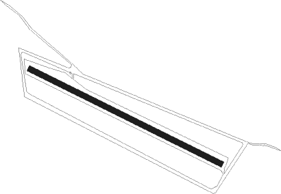
Hermannsburg - Areyonga

Airport details

CountryAustralia
StateNorthern Territory
Region
AirspaceMelbourne Ctr
MunicipalityMacdonnell Region
Elevation2123ft (647m)
TimezoneGMT +9.5
Coordinates-24.08893, 132.26654
Magnetic var
Typeland
Available sinceX-Plane v10.40
ICAO codeYARN
IATA coden/a
FAA coden/a

Communication

No airport communication available for YARN

Runway info

Runway 12 / 30
 length1075m (3527ft)
 bearing119° / 299°
 width29m (95ft)
 surfacedirt

Airport layout


Disclaimer

The information on this website is not for real aviation. Use this data with the X-Plane flight simulator only! Data taken with kind consent from X-Plane 12 source code and data files. Content is subject to change without notice.