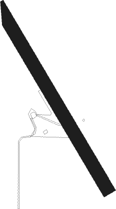
Atherton
Airport details
| Country | Australia |
| State | Queensland |
| Region | YB |
| Airspace | Brisbane Ctr |
| Municipality | Tablelands Regional |
| Elevation | 2450ft (747m) |
| Timezone | GMT +10 |
| Coordinates | -17.26194, 145.51445 |
| Magnetic var | |
| Type | land |
| Available since | X-Plane v10.40 |
| ICAO code | YATN |
| IATA code | n/a |
| FAA code | n/a |
Communication
| Atherton CTAF | 126.700 |
Nearby Points of Interest:
Yungaburra Post Office
-Yungaburra Community Centre
-7-9 Cedar Street, Yungaburra
-Eden House Restaurant
-Billy Madrid's House
-Bank of New South Wales Building, Yungaburra
-Rocky Creek World War Two Hospital Complex
-St James Catholic Church, Malanda
-Great Northern Mine
-Herberton War Memorial
-Cressbrook Cemetery
-Evelyn Scrub War Memorial
-Alley Family Graves
-Cairns Chinatown Building
-McLeod Street Pioneer Cemetery
-Adelaide Steamship Co Ltd Building
-Central Hotel
-Bolands Centre
-Herries Private Hospital
-Cairns Technical College and High School Building
-Cairns Masonic Temple
-Cairns Customs House
-St Monica's Old Cathedral, Cairns
-St Monica's War Memorial Cathedral
-Bishop's House, Cairns
Nearby beacons
| code | identifier | dist | bearing | frequency |
|---|---|---|---|---|
| CS | CAIRNS NDB | 27.9 | 28° | 364 |
| CS | CAIRNS VOR/DME | 28 | 29° | 113 |
| IFL | INNISFAIL NDB | 33.8 | 121° | 212 |
Disclaimer
The information on this website is not for real aviation. Use this data with the X-Plane flight simulator only! Data taken with kind consent from X-Plane 12 source code and data files. Content is subject to change without notice.
