Bushy Park
Airport details
| Country | Australia |
| State | Queensland |
| Region | YB |
| Airspace | Brisbane Ctr |
| Municipality | Cloncurry Shire |
| Elevation | 1265ft (386m) |
| Timezone | GMT +10 |
| Coordinates | -21.25599, 139.71497 |
| Magnetic var | |
| Type | land |
| Available since | X-Plane v10.40 |
| ICAO code | YBHK |
| IATA code | n/a |
| FAA code | n/a |
Communication
| Bushy Park CTAF | 122.400 |
Nearby Points of Interest:
Casa Grande, Mount Isa
-Underground Hospital, Mount Isa
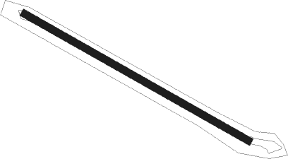
Runway info
| Runway 12 / 30 | ||
| length | 1047m (3435ft) | |
| bearing | 122° / 302° | |
| width | 30m (98ft) | |
| surface | dirt | |
Nearby beacons
| code | identifier | dist | bearing | frequency |
|---|---|---|---|---|
| MA | MOUNT ISA NDB | 37.1 | 339° | 338 |
| MA | MOUNT ISA VOR/DME | 37.7 | 339° | 117.50 |
| CCY | CLONCURRY NDB | 56.5 | 53° | 264 |
Disclaimer
The information on this website is not for real aviation. Use this data with the X-Plane flight simulator only! Data taken with kind consent from X-Plane 12 source code and data files. Content is subject to change without notice.