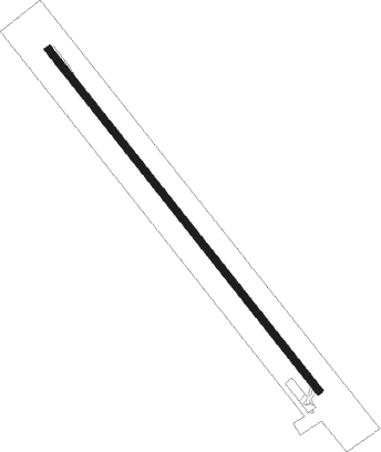
Bedourie
Airport details
| Country | Australia |
| State | Queensland |
| Region | YB |
| Airspace | Brisbane Ctr |
| Municipality | Bedourie |
| Elevation | 293ft (89m) |
| Timezone | GMT +10 |
| Coordinates | -24.34611, 139.46028 |
| Magnetic var | |
| Type | land |
| Available since | X-Plane v10.40 |
| ICAO code | YBIE |
| IATA code | BEU |
| FAA code | n/a |
Communication
Instrument approach procedures
| runway | airway (heading) | route (dist, bearing) |
|---|---|---|
| RW14-Z | BIENA (123°) | BIENA 2100ft BIENI (5mi, 77°) 2100ft |
| RW14-Z | BIENC (144°) | BIENC 2100ft BIENI (5mi, 144°) 2100ft |
| RW14-Z | BIEND (165°) | BIEND 2100ft BIENI (5mi, 218°) 2100ft |
| RNAV | BIENI 2100ft BIENF (5mi, 144°) 2030ft BIENM (5mi, 144°) 438ft BIENH (3mi, 144°) (8037mi, 280°) 1900ft | |
| RW32-Z | BIESE (303°) | BIESE 2100ft BIESI (5mi, 257°) 2100ft |
| RW32-Z | BIESG (324°) | BIESG 2100ft BIESI (5mi, 324°) 2100ft |
| RW32-Z | BIESJ (346°) | BIESJ 2100ft BIESI (5mi, 38°) 2100ft |
| RNAV | BIESI 2100ft BIESF (5mi, 324°) 2020ft BIESM (5mi, 324°) 430ft BIESH (3mi, 324°) (8036mi, 280°) 1900ft |
Disclaimer
The information on this website is not for real aviation. Use this data with the X-Plane flight simulator only! Data taken with kind consent from X-Plane 12 source code and data files. Content is subject to change without notice.
