Bindoon
Airport details
| Country | Australia |
| State | Western Australia |
| Region | YM |
| Airspace | Melbourne Ctr |
| Municipality | Shire Of Toodyay |
| Elevation | 1018ft (310m) |
| Timezone | GMT +8 |
| Coordinates | -31.29979, 116.26007 |
| Magnetic var | |
| Type | land |
| Available since | X-Plane v10.40 |
| ICAO code | YBON |
| IATA code | n/a |
| FAA code | n/a |
Communication
Nearby Points of Interest:
Butterly House
-Toodyay Fire Station
-Old Toodyay Court House
-Demasson's House and Shop
-Toodyay Public Library
-Northam Post Office
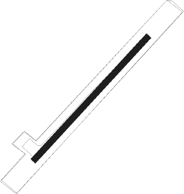
Runway info
| Runway 4 / 22 | ||
| length | 677m (2221ft) | |
| bearing | 52° / 232° | |
| width | 25m (82ft) | |
| surface | asphalt | |
Nearby beacons
| code | identifier | dist | bearing | frequency |
|---|---|---|---|---|
| GIG | GINGIN NDB | 22.3 | 248° | 372 |
| PEA | PEARCE NDB | 24.6 | 214° | 340 |
| PEA | PEARCE TACAN | 25.6 | 213° | 112.80 |
| PH | PERTH VOR/DME | 41.6 | 205° | 113.70 |
| JT | JANDAKOT NDB | 51.8 | 205° | 281 |
| CUN | CUNDERDIN NDB | 53.1 | 109° | 293 |
Disclaimer
The information on this website is not for real aviation. Use this data with the X-Plane flight simulator only! Data taken with kind consent from X-Plane 12 source code and data files. Content is subject to change without notice.