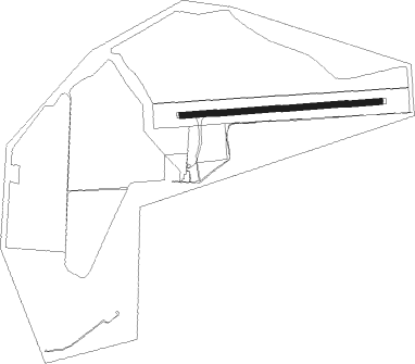
Coolah
Airport details
| Country | Australia |
| State | New South Wales |
| Region | YB |
| Airspace | Brisbane Ctr |
| Municipality | Coolah |
| Elevation | 1651ft (503m) |
| Timezone | GMT +11 |
| Coordinates | -31.77333, 149.60945 |
| Magnetic var | |
| Type | land |
| Available since | X-Plane v10.40 |
| ICAO code | YCAH |
| IATA code | CLH |
| FAA code | n/a |
Communication
| Coolah BRISBANE CENTRE MULTICOM | 127.100 |
| Coolah CTAF | 126.700 |
Nearby Points of Interest:
Gulgong railway bridge over Wialdra Creek
Nearby beacons
| code | identifier | dist | bearing | frequency |
|---|---|---|---|---|
| MDG | MUDGEE NDB | 47.5 | 180° | 398 |
| QDI | QUIRINDI NDB | 49.7 | 73° | 386 |
| GDH | GUNNEDAH NDB | 59.1 | 38° | 407 |
Disclaimer
The information on this website is not for real aviation. Use this data with the X-Plane flight simulator only! Data taken with kind consent from X-Plane 12 source code and data files. Content is subject to change without notice.