Cambewarra Village - Cambewarra
Airport details
| Country | Australia |
| State | New South Wales |
| Region | |
| Airspace | Melbourne Ctr |
| Municipality | Shoalhaven City Council |
| Elevation | 164ft (50m) |
| Timezone | GMT +11 |
| Coordinates | -34.82899, 150.57613 |
| Magnetic var | |
| Type | land |
| Available since | X-Plane v10.40 |
| ICAO code | YCAW |
| IATA code | n/a |
| FAA code | n/a |
Communication
| Cambewarra ATIS | 125.650 |
| Cambewarra Nowra Tower | 118.850 |
Nearby Points of Interest:
Bomaderry Aboriginal Children's Home
-Graham Lodge
-MV Lady Denman
-St Stephen's Presbyterian Church, Jamberoo
-Kiama Masonic Temple
-Kiama railway station
-Bombo railway station
-Dunmore railway station
-Mount Broughton
-Moss Vale railway station
-Wingello railway station
-Mittagong railway station
-Berrima Correctional Centre
-Tallong railway station
-Wollongong railway station
-Upper Nepean Scheme
-Marulan railway station
-Nepean Dam
-Christ Church Anglican Church, Bungonia
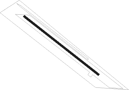
Runway info
| Runway 13 / 31 | ||
| length | 710m (2329ft) | |
| bearing | 127° / 307° | |
| width | 15m (49ft) | |
| surface | grass | |
Nearby beacons
| code | identifier | dist | bearing | frequency |
|---|---|---|---|---|
| NWA | NOWRA TACAN | 7.5 | 199° | 116.40 |
| NWA | NOWRA NDB | 7.6 | 201° | 359 |
| WOL | WOLLONGONG NDB | 19.4 | 38° | 239 |
| GLB | GOULBURN NDB | 41.3 | 271° | 407 |
| BK | BANKSTOWN (SYDNEY) NDB | 57.8 | 25° | 416 |
| SY | DME | 61 | 34° | 112.10 |
Disclaimer
The information on this website is not for real aviation. Use this data with the X-Plane flight simulator only! Data taken with kind consent from X-Plane 12 source code and data files. Content is subject to change without notice.