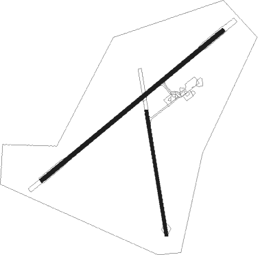
Cobar
Airport details
| Country | Australia |
| State | New South Wales |
| Region | YM |
| Airspace | Melbourne Ctr |
| Municipality | Cobar |
| Elevation | 724ft (221m) |
| Timezone | GMT +10 |
| Coordinates | -31.53681, 145.79758 |
| Magnetic var | |
| Type | land |
| Available since | X-Plane v10.40 |
| ICAO code | YCBA |
| IATA code | CAZ |
| FAA code | n/a |
Communication
| Cobar CTAF | 126.700 |
Nearby Points of Interest:
Cobar railway station

Nearby beacons
| code | identifier | dist | bearing | frequency |
|---|---|---|---|---|
| CBA | COBAR NDB | 0.2 | 162° | 395 |
Instrument approach procedures
| runway | airway (heading) | route (dist, bearing) |
|---|---|---|
| RW05-Z | CBAWA (39°) | CBAWA 2600ft CBAWI (5mi, 343°) 2600ft |
| RW05-Z | CBAWB (59°) | CBAWB 2600ft CBAWI (5mi, 59°) 2600ft |
| RW05-Z | CBAWC (78°) | CBAWC 2600ft CBAWI (5mi, 121°) 2600ft |
| RNAV | CBAWI 2600ft CBAWF (5mi, 59°) 2430ft CBAWM (5mi, 59°) 841ft CBAWH (3mi, 59°) (8099mi, 282°) 2600ft | |
| RW23-Z | CBAED (218°) | CBAED 2600ft CBAEI (5mi, 163°) 2600ft |
| RW23-Z | CBAEE (239°) | CBAEE 2600ft CBAEI (5mi, 239°) 2600ft |
| RW23-Z | CBAEG (258°) | CBAEG 2600ft CBAEI (5mi, 301°) 2600ft |
| RNAV | CBAEI 2600ft CBAEF (5mi, 239°) 2450ft CBAEM (5mi, 239°) 857ft CBAEH (3mi, 239°) (8095mi, 282°) 2600ft |
Disclaimer
The information on this website is not for real aviation. Use this data with the X-Plane flight simulator only! Data taken with kind consent from X-Plane 12 source code and data files. Content is subject to change without notice.