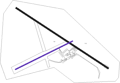
Cloncurry
Airport details
| Country | Australia |
| State | Queensland |
| Region | YB |
| Airspace | Brisbane Ctr |
| Municipality | Cloncurry |
| Elevation | 616ft (188m) |
| Timezone | GMT +10 |
| Coordinates | -20.66861, 140.50444 |
| Magnetic var | |
| Type | land |
| Available since | X-Plane v10.40 |
| ICAO code | YCCY |
| IATA code | CNJ |
| FAA code | n/a |
Communication
| Cloncurry CTAF | 126.700 |
Nearby Points of Interest:
Mount Elliott Company Metallurgical Plant and Mill
-Kuridala Township site

Nearby beacons
| code | identifier | dist | bearing | frequency |
|---|---|---|---|---|
| CCY | CLONCURRY NDB | 0.2 | 311° | 264 |
Instrument approach procedures
| runway | airway (heading) | route (dist, bearing) |
|---|---|---|
| RW12-Z | CCYND (107°) | CCYND 3200ft CCYNI (5mi, 59°) 3200ft |
| RW12-Z | CCYNE (127°) | CCYNE 3200ft CCYNI (5mi, 126°) 3200ft |
| RW12-Z | CCYNG (148°) | CCYNG 3200ft CCYNI (5mi, 199°) 3200ft |
| RNAV | CCYNI 3200ft CCYNF (5mi, 126°) 2340ft YCCY (6mi, 128°) 662ft CCYNH (2mi, 120°) (8182mi, 278°) 3200ft | |
| RW30-Z | CCYSA (285°) | CCYSA 3200ft CCYSI (5mi, 239°) 3200ft |
| RW30-Z | CCYSB (305°) | CCYSB 3200ft CCYSI (5mi, 306°) 3200ft |
| RW30-Z | CCYSC (326°) | CCYSC 3200ft CCYSI (5mi, 19°) 3200ft |
| RNAV | CCYSI 3200ft CCYSF (5mi, 306°) 2340ft YCCY (6mi, 304°) 663ft CCYSH (3mi, 311°) (8180mi, 278°) 3200ft |
Disclaimer
The information on this website is not for real aviation. Use this data with the X-Plane flight simulator only! Data taken with kind consent from X-Plane 12 source code and data files. Content is subject to change without notice.