Clermont
Airport details
| Country | Australia |
| State | Queensland |
| Region | YB |
| Airspace | Brisbane Ctr |
| Municipality | Isaac Regional |
| Elevation | 908ft (277m) |
| Timezone | GMT +10 |
| Coordinates | -22.77306, 147.62056 |
| Magnetic var | |
| Type | land |
| Available since | X-Plane v10.40 |
| ICAO code | YCMT |
| IATA code | CMQ |
| FAA code | n/a |
Communication
| Clermont CTAF | 126.700 |
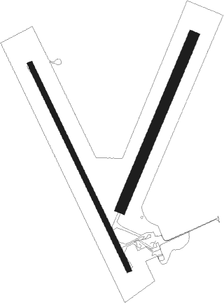
Runway info
Runway 15 / 33  | ||
| length | 1314m (4311ft) | |
| bearing | 157° / 337° | |
| width | 30m (98ft) | |
| surface | asphalt | |
| Runway 01 / 19 | ||
| length | 1071m (3514ft) | |
| bearing | 29° / 209° | |
| width | 61m (200ft) | |
| surface | dirt | |
| blast zone | 52m (171ft) / 65m (213ft) | |
Nearby beacons
| code | identifier | dist | bearing | frequency |
|---|---|---|---|---|
| DYS | DYSART NDB | 41.8 | 76° | 227 |
| EML | EMERALD NDB | 56.5 | 145° | 324 |
Instrument approach procedures
| runway | airway (heading) | route (dist, bearing) |
|---|---|---|
| RW15 | CMTNA (135°) | CMTNA 3800ft CMTNI (5mi, 89°) 3800ft |
| RW15 | CMTNC (157°) | CMTNC 3800ft CMTNI (5mi, 157°) 3800ft |
| RW15 | CMTND (179°) | CMTND 3800ft CMTNI (5mi, 231°) 3800ft |
| RNAV | CMTNI 3800ft CMTNF (5mi, 157°) 2650ft CMTNM (5mi, 157°) 1054ft CMTNH (3mi, 157°) (8476mi, 279°) 3800ft | |
| RW33 | CMTSE (315°) | CMTSE 3800ft CMTSI (5mi, 269°) 3100ft |
| RW33 | CMTSG (337°) | CMTSG 3100ft CMTSI (5mi, 337°) 3100ft |
| RW33 | CMTSJ (0°) | CMTSJ 3100ft CMTSI (5mi, 51°) 3100ft |
| RNAV | CMTSI 3100ft CMTSF (5mi, 337°) 2550ft CMTSM (5mi, 337°) 954ft CMTSH (3mi, 337°) (8477mi, 279°) 3100ft |
Disclaimer
The information on this website is not for real aviation. Use this data with the X-Plane flight simulator only! Data taken with kind consent from X-Plane 12 source code and data files. Content is subject to change without notice.