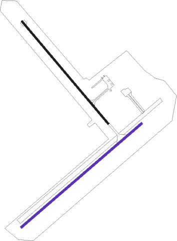
Corowa
Airport details
| Country | Australia |
| State | New South Wales |
| Region | YM |
| Airspace | Melbourne Ctr |
| Municipality | Corowa |
| Elevation | 469ft (143m) |
| Timezone | GMT +11 |
| Coordinates | -35.99028, 146.35139 |
| Magnetic var | |
| Type | land |
| Available since | X-Plane v10.40 |
| ICAO code | YCOR |
| IATA code | CWW |
| FAA code | n/a |
Communication
| Corowa CTAF | 126.700 |
Nearby Points of Interest:
Corowa railway station
-Corowa Courthouse
-All Saints Estate Winery
-Elm Court, Albury
-Murray River railway bridge
-New Albury Hotel
-Albury Post Office
-Beechworth Asylum
-Commercial Hotel, Albury
Nearby beacons
| code | identifier | dist | bearing | frequency |
|---|---|---|---|---|
| COR | COROWA NDB | 0.3 | 64° | 380 |
| AY | ALBURY VOR/DME | 30.2 | 97° | 115.60 |
| SHT | SHEPPARTON NDB | 53.2 | 245° | 212 |
Instrument approach procedures
| runway | airway (heading) | route (dist, bearing) |
|---|---|---|
| RWNVE | CORND (220°) | CORND 4100ft CORNI (5mi, 161°) 3840ft |
| RWNVE | CORNE (241°) | CORNE 4100ft CORNI (5mi, 239°) 3840ft |
| RWNVE | CORNG (259°) | CORNG 4100ft CORNI (5mi, 299°) 3840ft |
| RNAV | CORNI 3840ft CORNF (5mi, 239°) 2240ft CORNM (5mi, 240°) 651ft CORNH (3mi, 240°) (7946mi, 284°) 2500ft |
Disclaimer
The information on this website is not for real aviation. Use this data with the X-Plane flight simulator only! Data taken with kind consent from X-Plane 12 source code and data files. Content is subject to change without notice.

