Curtin Springs
Airport details
| Country | Australia |
| State | Northern Territory |
| Region | YB |
| Airspace | Melbourne Ctr |
| Municipality | Macdonnell Region |
| Elevation | 1617ft (493m) |
| Timezone | GMT +9.5 |
| Coordinates | -25.33053, 131.75380 |
| Magnetic var | |
| Type | land |
| Available since | X-Plane v10.40 |
| ICAO code | YCSP |
| IATA code | n/a |
| FAA code | n/a |
Communication
| Curtin Springs CTAF | 126.700 |
Runway info
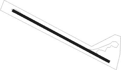
| Runway 12 / 30 | ||
| length | 1244m (4081ft) | |
| bearing | 120° / 300° | |
| width | 30m (98ft) | |
| surface | dirt | |
| displ threshold | 0m (0ft) / 28m (92ft) | |
Nearby beacons
| code | identifier | dist | bearing | frequency |
|---|---|---|---|---|
| AYE | AYERS ROCK NDB | 43.3 | 281° | 233 |
Disclaimer
The information on this website is not for real aviation. Use this data with the X-Plane flight simulator only! Data taken with kind consent from X-Plane 12 source code and data files. Content is subject to change without notice.