Dunwich
Airport details
| Country | Australia |
| State | Queensland |
| Region | YB |
| Airspace | Brisbane Ctr |
| Municipality | Greater Brisbane |
| Elevation | 250ft (76m) |
| Timezone | GMT +10 |
| Coordinates | -27.51667, 153.42833 |
| Magnetic var | |
| Type | land |
| Available since | X-Plane v10.40 |
| ICAO code | YDUN |
| IATA code | SRR |
| FAA code | n/a |
Communication
| Dunwich CTAF | 126.700 |
Nearby Points of Interest:
Dunwich Public Reserve
-Lamb Island Pioneer Hall
-Old Cleveland Court House
-Norfolk Island Pine Trees, Cleveland
-Cleveland Hotel
-Grand View Hotel
-St Pauls Anglican Church, Cleveland
-Fernleigh
-Industrial Ruins, Macleay Island
-Point Lookout Foreshore
-Old Cleveland Police Station
-Cleveland Pioneer Cemetery
-Ormiston House Estate
-Ormiston Fellmongery
-Whepstead, Wellington Point
-Lota House
-Manly Retaining Wall
-Michael Gannon residence
-Old Carbrook State School
-Wynnum Fire Station
-Mount Carmel Convent
-Wynnum Wading Pool
-Fachwerk Farmhouse
-Nazareth House, Wynnum
-Lytton Hill
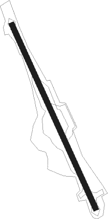
Runway info
| Runway 15 / 33 | ||
| length | 867m (2844ft) | |
| bearing | 158° / 338° | |
| width | 23m (75ft) | |
| surface | grass | |
Nearby beacons
| code | identifier | dist | bearing | frequency |
|---|---|---|---|---|
| BN | BRISBANE VOR/DME | 17.8 | 298° | 113.20 |
| AMB | AMBERLEY TACAN | 38.6 | 260° | 108.10 |
| BML | BROMELTON NDB | 38.9 | 230° | 374 |
| CG | GOLD COAST NDB | 39.1 | 174° | 278 |
| CG | GOLD COAST VOR/DME | 39.3 | 173° | 112.30 |
| SU | SUNSHINE COAST VOR/DME | 58 | 340° | 114.20 |
| SU | SUNSHINE COAST NDB | 58.3 | 340° | 380 |
Disclaimer
The information on this website is not for real aviation. Use this data with the X-Plane flight simulator only! Data taken with kind consent from X-Plane 12 source code and data files. Content is subject to change without notice.