Nundle - Ellerston
Airport details
| Country | Australia |
| State | New South Wales |
| Region | |
| Airspace | Brisbane Ctr |
| Municipality | Upper Hunter Shire Council |
| Elevation | 1689ft (515m) |
| Timezone | GMT +11 |
| Coordinates | -31.83111, 151.30597 |
| Magnetic var | |
| Type | land |
| Available since | X-Plane v10.40 |
| ICAO code | YESN |
| IATA code | n/a |
| FAA code | n/a |
Communication
Nearby Points of Interest:
Murrurundi railway station
-Scone Civic Theatre
-Scone Post Office
-Old Court Theatre
-Ardglen Tunnel
-St Alban's Anglican Church
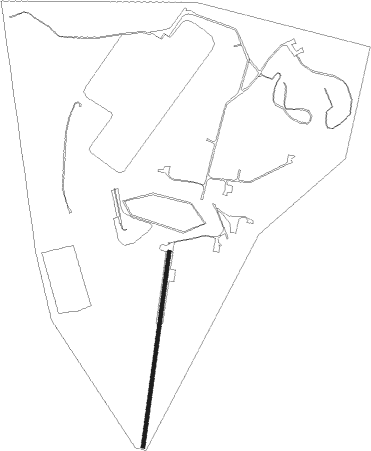
Runway info
| Runway 1 / 19 | ||
| length | 870m (2854ft) | |
| bearing | 14° / 194° | |
| width | 18m (59ft) | |
| surface | grass | |
Nearby beacons
| code | identifier | dist | bearing | frequency |
|---|---|---|---|---|
| SCO | SCONE NDB | 27.1 | 247° | 209 |
| QDI | QUIRINDI NDB | 44.8 | 293° | 386 |
| TW | TAMWORTH NDB | 51.7 | 328° | 341 |
| TW | TAMWORTH VOR/DME | 52 | 328° | 116 |
| WMD | WEST MAITLAND NDB | 56.6 | 166° | 224 |
| WLM | WILLIAMTOWN (NEWCASTLE) TACAN | 63.8 | 151° | 113.30 |
| WLM | WILLIAMTOWN (NEWCASTLE) NDB | 64.1 | 152° | 365 |
Disclaimer
The information on this website is not for real aviation. Use this data with the X-Plane flight simulator only! Data taken with kind consent from X-Plane 12 source code and data files. Content is subject to change without notice.