Geraldton
Airport details
| Country | Australia |
| State | Western Australia |
| Region | YM |
| Airspace | Melbourne Ctr |
| Municipality | Geraldton |
| Elevation | 121ft (37m) |
| Timezone | GMT +8 |
| Coordinates | -28.79611, 114.70750 |
| Magnetic var | |
| Type | land |
| Available since | X-Plane v10.40 |
| ICAO code | YGEL |
| IATA code | GET |
| FAA code | n/a |
Communication
| Geraldton CTAF | 126.700 |
Nearby Points of Interest:
Geraldton railway station
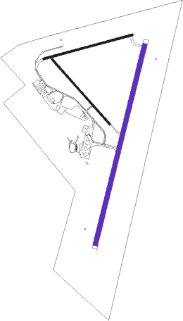
Runway info
| Runway 03 / 21 | ||
| length | 1990m (6529ft) | |
| bearing | 21° / 201° | |
| width | 45m (148ft) | |
| surface | asphalt | |
Runway 14 / 32  | ||
| length | 845m (2772ft) | |
| bearing | 139° / 319° | |
| width | 18m (59ft) | |
| surface | asphalt | |
| Runway 08 / 26 | ||
| length | 896m (2940ft) | |
| bearing | 81° / 261° | |
| width | 18m (59ft) | |
| surface | gravel | |
Nearby beacons
| code | identifier | dist | bearing | frequency |
|---|---|---|---|---|
| GEL | GERALDTON NDB | 0.3 | 248° | 359 |
Instrument approach procedures
| runway | airway (heading) | route (dist, bearing) |
|---|---|---|
| RW03-Z | GZLSE (358°) | GZLSE 2300ft GZLSI (5mi, 305°) 2300ft |
| RW03-Z | GZLSG (21°) | GZLSG 2300ft GZLSI (5mi, 21°) 2300ft |
| RW03-Z | GZLSJ (43°) | GZLSJ 2300ft GZLSI (5mi, 89°) 2300ft |
| RNAV | GZLSI 2300ft GZLSF (5mi, 21°) 1760ft YGEL (6mi, 21°) 147ft GZLSH (2mi, 19°) (6697mi, 284°) 2300ft | |
| RW21-Z | GZLNA (177°) | GZLNA 2300ft GZLNI (5mi, 125°) 2300ft |
| RW21-Z | GZLNC (200°) | GZLNC 2300ft GZLNI (5mi, 201°) 2300ft |
| RW21-Z | GZLND (222°) | GZLND 2300ft GZLNI (5mi, 269°) 2300ft |
| RNAV | GZLNI 2300ft GZLNF (5mi, 201°) 1850ft YGEL (6mi, 200°) 170ft GZLNH (2mi, 202°) (6694mi, 284°) 2300ft |
Disclaimer
The information on this website is not for real aviation. Use this data with the X-Plane flight simulator only! Data taken with kind consent from X-Plane 12 source code and data files. Content is subject to change without notice.