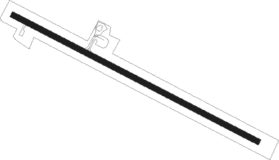
Gnowangerup
Airport details
| Country | Australia |
| State | Western Australia |
| Region | YM |
| Airspace | Melbourne Ctr |
| Municipality | Shire Of Gnowangerup |
| Elevation | 907ft (276m) |
| Timezone | GMT +8 |
| Coordinates | -33.97461, 118.00560 |
| Magnetic var | |
| Type | land |
| Available since | X-Plane v10.40 |
| ICAO code | YGNW |
| IATA code | n/a |
| FAA code | n/a |
Communication
| Gnowangerup CTAF | 126.700 |
Nearby beacons
| code | identifier | dist | bearing | frequency |
|---|---|---|---|---|
| ABA | DME-ILS | 59.3 | 191° | 109.70 |
| ABA | ALBANY NDB | 59.4 | 191° | 240 |
Departure and arrival routes
| Transition altitude | 10000ft |
| Transition level | 11000ft |
| SID end points | distance | outbound heading | |
|---|---|---|---|
| RW12 | |||
| GNOWA1 | 53mi | 129° | |
| RW30 | |||
| GNOWA1 | 53mi | 129° | |
Instrument approach procedures
| runway | airway (heading) | route (dist, bearing) |
|---|---|---|
| RW12 | GO2WA (98°) | GO2WA 2600ft GO2WI (5mi, 57°) 2600ft |
| RW12 | GO2WB (117°) | GO2WB 2600ft GO2WI (5mi, 117°) 2600ft |
| RW12 | GO2WC (139°) | GO2WC 2600ft GO2WI (5mi, 194°) 2600ft |
| RNAV | GO2WI 2600ft GO2WF (5mi, 117°) 2560ft YGNW (5mi, 117°) 970ft GO2WH (3mi, 117°) (6783mi, 286°) 2600ft | |
| RW30 | GO2ED (279°) | GO2ED 3200ft GO2EI (5mi, 237°) 3200ft |
| RW30 | GO2EE (297°) | GO2EE 3200ft GO2EI (5mi, 297°) 3200ft |
| RW30 | GO2EG (317°) | GO2EG 4700ft GO2EI (5mi, 14°) 3200ft |
| RNAV | GO2EI 3200ft GO2EF (5mi, 297°) 2520ft YGNW (6mi, 297°) 930ft GO2EH (2mi, 297°) (6780mi, 286°) 2600ft |
Disclaimer
The information on this website is not for real aviation. Use this data with the X-Plane flight simulator only! Data taken with kind consent from X-Plane 12 source code and data files. Content is subject to change without notice.
