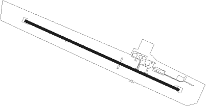
Hervey Bay
Airport details
| Country | Australia |
| State | Queensland |
| Region | YB |
| Airspace | Brisbane Ctr |
| Municipality | Hervey Bay |
| Elevation | 60ft (18m) |
| Timezone | GMT +10 |
| Coordinates | -25.31889, 152.88028 |
| Magnetic var | |
| Type | land |
| Available since | X-Plane v10.40 |
| ICAO code | YHBA |
| IATA code | HVB |
| FAA code | n/a |
Communication
| Hervey Bay AWIS | 134.900 |
| Hervey Bay HERVEY BAY CTAF | 126.550 |
| Hervey Bay BRISBANE CNTR | 124.600 |
Nearby Points of Interest:
Pialba Memorial Cenotaph
-Second World War RAAF Buildings, Maryborough Airport
-Maryborough Base Hospital
-Maryborough Post Office
-Criterion Hotel, Maryborough
-Australian Joint Stock Bank Building, Maryborough
-Maryborough Courthouse
-Baddow House
-Lamington Bridge
-Commissioner Bidwill's Grave
-Howard War Memorial
-Pacific Islander Hospital and Cemetery site
-Isis District War Memorial and Shire Council Chambers
-Childers Pharmaceutical Museum
-Christ Church, Childers
-Paragon Theatre
Nearby beacons
| code | identifier | dist | bearing | frequency |
|---|---|---|---|---|
| BUD | BUNDABERG NDB | 39.2 | 306° | 302 |
Instrument approach procedures
| runway | airway (heading) | route (dist, bearing) |
|---|---|---|
| RW11-Z | HBAWD (97°) | HBAWD 3000ft HBAWI (5mi, 51°) 3000ft |
| RW11-Z | HBAWE (116°) | HBAWE 3000ft HBAWI (5mi, 117°) 3000ft |
| RW11-Z | HBAWG (137°) | HBAWG 3000ft HBAWI (5mi, 190°) 3000ft |
| RNAV | HBAWI 3000ft HBAWF (5mi, 116°) 1700ft YHBA (6mi, 116°) 105ft HBAWH (2mi, 118°) (8623mi, 279°) 2100ft | |
| RW29-Z | HBAEA (278°) | HBAEA 2100ft HBAEI (5mi, 231°) 2100ft |
| RW29-Z | HBAEB (297°) | HBAEB 2100ft HBAEI (5mi, 296°) 2100ft |
| RW29-Z | HBAEC (317°) | HBAEC 2100ft HBAEI (5mi, 9°) 2100ft |
| RNAV | HBAEI 2100ft HBAEF (5mi, 296°) 1780ft YHBA (6mi, 297°) 101ft HBAEH (5mi, 296°) (8620mi, 279°) 2100ft |
Disclaimer
The information on this website is not for real aviation. Use this data with the X-Plane flight simulator only! Data taken with kind consent from X-Plane 12 source code and data files. Content is subject to change without notice.
