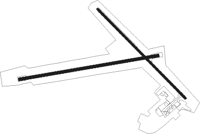
Horn Island
Airport details
| Country | Australia |
| State | Queensland |
| Region | YB |
| Airspace | Brisbane Ctr |
| Municipality | Torres Shire |
| Elevation | 42ft (13m) |
| Timezone | GMT +10 |
| Coordinates | -10.58883, 142.29382 |
| Magnetic var | |
| Type | land |
| Available since | X-Plane v10.40 |
| ICAO code | YHID |
| IATA code | HID |
| FAA code | n/a |
Communication
| Horn Island CTAF | 126.500 |
Nearby Points of Interest:
Thursday Island Customs House
-Our Lady of the Sacred Heart Church, Thursday Island
-Quetta Memorial Precinct
-Goods Island Light
-Booby Island Light

Nearby beacons
| code | identifier | dist | bearing | frequency |
|---|---|---|---|---|
| HID | HORN I. (THURSDAY I.) NDB | 0.2 | 201° | 356 |
Instrument approach procedures
| runway | airway (heading) | route (dist, bearing) |
|---|---|---|
| RW08-Z | HISWA (65°) | HISWA 2400ft HISWI (5mi, 15°) 2400ft |
| RW08-Z | HISWB (86°) | HISWB 2400ft HISWI (5mi, 85°) 2400ft |
| RW08-Z | HISWC (106°) | HISWC 2400ft HISWI (5mi, 155°) 2400ft |
| RNAV | HISWI 2400ft HISWF (5mi, 85°) 1650ft YHID (6mi, 87°) 62ft HISWH (2mi, 80°) (8473mi, 274°) 2400ft | |
| RW26-Z | HISED (242°) | HISED 2400ft HISEI (5mi, 195°) 2400ft |
| RW26-Z | HISEE (264°) | HISEE 2400ft HISEI (5mi, 265°) 2400ft |
| RW26-Z | HISEG (286°) | HISEG 2400ft HISEI (5mi, 335°) 2400ft |
| RNAV | HISEI 2400ft HISEF (5mi, 265°) 1670ft YHID (5mi, 263°) 73ft HISEH (3mi, 269°) (8468mi, 274°) 2400ft |
Disclaimer
The information on this website is not for real aviation. Use this data with the X-Plane flight simulator only! Data taken with kind consent from X-Plane 12 source code and data files. Content is subject to change without notice.