Milawa
Airport details
| Country | Australia |
| State | Victoria |
| Region | |
| Airspace | Melbourne Ctr |
| Municipality | Rural City of Wangaratta |
| Elevation | 518ft (158m) |
| Timezone | GMT +11 |
| Coordinates | -36.45632, 146.43318 |
| Magnetic var | |
| Type | land |
| Available since | X-Plane v10.40 |
| ICAO code | YILA |
| IATA code | n/a |
| FAA code | n/a |
Communication
| Milawa CTAF | 126.700 |
Nearby Points of Interest:
Beechworth Asylum
-All Saints Estate Winery
-Corowa Courthouse
-Corowa railway station
-Bright railway station
-Murray River railway bridge
-Elm Court, Albury
-New Albury Hotel
-Albury Post Office
-Commercial Hotel, Albury
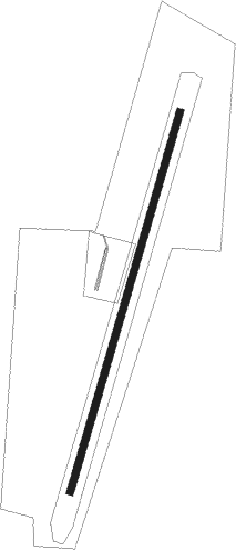
Runway info
| Runway 01 / 19 | ||
| length | 821m (2694ft) | |
| bearing | 25° / 205° | |
| width | 15m (49ft) | |
| surface | grass | |
Nearby beacons
| code | identifier | dist | bearing | frequency |
|---|---|---|---|---|
| COR | COROWA NDB | 28.3 | 351° | 380 |
| AY | ALBURY VOR/DME | 34.7 | 54° | 115.60 |
Disclaimer
The information on this website is not for real aviation. Use this data with the X-Plane flight simulator only! Data taken with kind consent from X-Plane 12 source code and data files. Content is subject to change without notice.