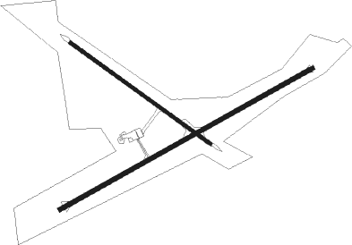
Katanning
Airport details
| Country | Australia |
| State | Western Australia |
| Region | YM |
| Airspace | Melbourne Ctr |
| Municipality | Shire Of Katanning |
| Elevation | 950ft (290m) |
| Timezone | GMT +8 |
| Coordinates | -33.70028, 117.65334 |
| Magnetic var | |
| Type | land |
| Available since | X-Plane v10.40 |
| ICAO code | YKNG |
| IATA code | KNI |
| FAA code | n/a |
Communication
| Katanning CTAF | 126.700 |

Instrument approach procedures
| runway | airway (heading) | route (dist, bearing) |
|---|---|---|
| RW25 | KNGEA (230°) | KNGEA 2900ft KNGEI (5mi, 175°) 2900ft |
| RW25 | KNGEB (249°) | KNGEB 2900ft KNGEI (5mi, 249°) 2900ft |
| RW25 | KNGEC (267°) | KNGEC 2900ft KNGEI (5mi, 310°) 2900ft |
| RNAV | KNGEI 2900ft KNGEF (5mi, 249°) 2650ft KNGEM (5mi, 249°) 1064ft KNGEH (3mi, 249°) (6767mi, 286°) 2900ft |
Disclaimer
The information on this website is not for real aviation. Use this data with the X-Plane flight simulator only! Data taken with kind consent from X-Plane 12 source code and data files. Content is subject to change without notice.