Mallacoota
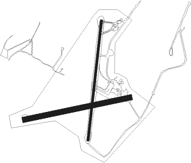
Airport details
| Country | Australia |
| State | Victoria |
| Region | YM |
| Airspace | Melbourne Ctr |
| Municipality | Mallacoota |
| Elevation | 102ft (31m) |
| Timezone | GMT +10 |
| Coordinates | -37.59833, 149.70334 |
| Magnetic var | |
| Type | land |
| Available since | X-Plane v10.40 |
| ICAO code | YMCO |
| IATA code | XMC |
| FAA code | n/a |
Communication
| Mallacoota ATC Frequency | 126.700 |
Nearby Points of Interest:
Gabo Island Lighthouse
-Green Cape Lighthouse

Nearby beacons
| code | identifier | dist | bearing | frequency |
|---|---|---|---|---|
| MER | MERIMBULA NDB | 42.1 | 16° | 395 |
Instrument approach procedures
| runway | airway (heading) | route (dist, bearing) |
|---|---|---|
| RW18 | MCONA (172°) | MCONA 4500ft MCONI (5mi, 116°) 3410ft |
| RW18 | MCONC (197°) | MCONC 4500ft MCONI (5mi, 194°) 3410ft |
| RW18 | MCOND (221°) | MCOND 4500ft MCONI (5mi, 263°) 3410ft |
| RNAV | MCONI 3410ft MCONF (5mi, 194°) 1810ft MCONM (5mi, 194°) 224ft MCONH (6mi, 70°) (8004mi, 284°) 4500ft | |
| RW36 | MCOSE (343°) | MCOSE 4500ft MCOSI (5mi, 295°) 3400ft |
| RW36 | MCOSG (10°) | MCOSG 4500ft MCOSI (5mi, 14°) 3400ft |
| RW36 | MCOSJ (34°) | MCOSJ 4500ft MCOSI (5mi, 83°) 3400ft |
| RNAV | MCOSI 3400ft MCOSF (5mi, 14°) 1810ft MCOSM (5mi, 14°) 218ft MCOSH (5mi, 99°) (8000mi, 284°) 4500ft |
Disclaimer
The information on this website is not for real aviation. Use this data with the X-Plane flight simulator only! Data taken with kind consent from X-Plane 12 source code and data files. Content is subject to change without notice.