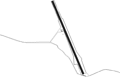
Airports for X-Plane offers a convenient way to explore airports and their related communication information for the X-Plane flight simulator. It only uses data from the X-Plane flight simulator itself, and is therefore more reliable than the data that comes from real aviation websites. You can search for airports by using the ICAO code, or browse for airports per country and state. The information displayed is categorized by airport details, runway information, airport communication, approach frequencies (ILS and Glidepath details), details of nearby beacons, SIDs, STARs and approach procedures.

flight attendant outskirts air terminal helipad heliport pilot flown airport apron runway lighting traffic stopover kennedy passengers taxiway flights international airport aircraft city frankfurt airport metro

Mount Dore

Airport details

CountryAustralia
StateQueensland
Region
AirspaceBrisbane Ctr
MunicipalityCloncurry Shire
Elevation1109ft (338m)
TimezoneGMT +10
Coordinates-21.66332, 140.51619
Magnetic var
Typeland
Available sinceX-Plane v10.40
ICAO codeYMDE
IATA coden/a
FAA coden/a

Communication

No airport communication available for YMDE
Nearby Points of Interest:
Mount Elliott Mining Complex
-
Kuridala Township site

Runway info

Runway 16 / 34
 length2277m (7470ft)
 bearing160° / 340°
 width50m (164ft)
 surfacehard surface

Airport layout


Nearby beacons

codeidentifierdistbearingfrequency
CCYCLONCURRY NDB59.9359°264

Disclaimer

The information on this website is not for real aviation. Use this data with the X-Plane flight simulator only! Data taken with kind consent from X-Plane 12 source code and data files. Content is subject to change without notice.