Melinda Downs
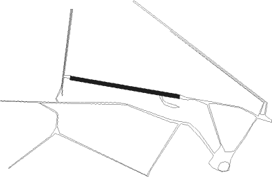
Airport details
| Country | Australia |
| State | Queensland |
| Region | |
| Airspace | Brisbane Ctr |
| Municipality | Cloncurry Shire |
| Elevation | 384ft (117m) |
| Timezone | GMT +10 |
| Coordinates | -19.76505, 140.37949 |
| Magnetic var | |
| Type | land |
| Available since | X-Plane v10.40 |
| ICAO code | YMDX |
| IATA code | n/a |
| FAA code | n/a |
Communication
Nearby Points of Interest:
Mount Cuthbert Township and Smelter
Nearby beacons
| code | identifier | dist | bearing | frequency |
|---|---|---|---|---|
| CCY | CLONCURRY NDB | 54.5 | 172° | 264 |
| MA | MOUNT ISA VOR/DME | 73.8 | 225° | 117.50 |
| MA | MOUNT ISA NDB | 74.3 | 224° | 338 |
Disclaimer
The information on this website is not for real aviation. Use this data with the X-Plane flight simulator only! Data taken with kind consent from X-Plane 12 source code and data files. Content is subject to change without notice.