Minlaton
Airport details
| Country | Australia |
| State | South Australia |
| Region | YM |
| Airspace | Melbourne Ctr |
| Municipality | Minlaton |
| Elevation | 107ft (33m) |
| Timezone | GMT +10.5 |
| Coordinates | -34.74871, 137.52817 |
| Magnetic var | |
| Type | land |
| Available since | X-Plane v10.40 |
| ICAO code | YMIN |
| IATA code | XML |
| FAA code | n/a |
Communication
| Minlaton CTAF | 126.700 |
Nearby Points of Interest:
Troubridge Island Lighthouse
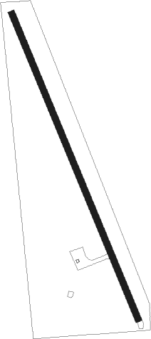
Runway info
| Runway 16 / 34 | ||
| length | 1522m (4993ft) | |
| bearing | 158° / 338° | |
| width | 30m (98ft) | |
| surface | dirt | |
Nearby beacons
| code | identifier | dist | bearing | frequency |
|---|---|---|---|---|
| AD | ADELAIDE VOR/DME | 50.5 | 101° | 116.40 |
Disclaimer
The information on this website is not for real aviation. Use this data with the X-Plane flight simulator only! Data taken with kind consent from X-Plane 12 source code and data files. Content is subject to change without notice.