Mangalore
Airport details
| Country | Australia |
| State | Victoria |
| Region | YM |
| Airspace | Melbourne Ctr |
| Municipality | Shire of Strathbogie |
| Elevation | 464ft (141m) |
| Timezone | GMT +11 |
| Coordinates | -36.88833, 145.18417 |
| Magnetic var | |
| Type | land |
| Available since | X-Plane v10.40 |
| ICAO code | YMNG |
| IATA code | n/a |
| FAA code | n/a |
Communication
| Mangalore CTAF | 121.100 |
Nearby Points of Interest:
Italian National Ossario
-Redesdale Bridge
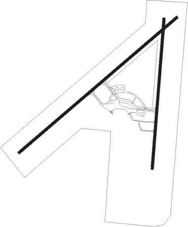
Runway info
Runway 18 / 36  | ||
| length | 1462m (4797ft) | |
| bearing | 191° / 11° | |
| width | 26m (85ft) | |
| surface | asphalt | |
| blast zone | 45m (148ft) / 0m (0ft) | |
| Runway 05 / 23 | ||
| length | 2030m (6660ft) | |
| bearing | 60° / 240° | |
| width | 26m (85ft) | |
| surface | asphalt | |
Nearby beacons
| code | identifier | dist | bearing | frequency |
|---|---|---|---|---|
| MNG | MANGALORE VOR | 0.5 | 76° | 113.20 |
| SHT | SHEPPARTON NDB | 29.4 | 25° | 212 |
| ML | MELBOURNE VOR/DME | 49.1 | 204° | 114.10 |
Instrument approach procedures
| runway | airway (heading) | route (dist, bearing) |
|---|---|---|
| RW18-Z | MNGNJ (166°) | MNGNJ 2900ft MNGNI (5mi, 114°) 2900ft |
| RW18-Z | MNGNK (192°) | MNGNK 2900ft MNGNI (5mi, 191°) 2900ft |
| RW18-Z | MNGNL (217°) | MNGNL 2900ft MNGNI (5mi, 261°) 2900ft |
| RNAV | MNGNI 2900ft MNGNF (5mi, 191°) 2110ft MNGNM (5mi, 191°) 513ft MNGNH (4mi, 207°) (7867mi, 284°) 3900ft | |
| RW23-Z | MNGEA (219°) | MNGEA 3900ft MNGEI (5mi, 160°) 3780ft |
| RW23-Z | MNGEB (239°) | MNGEB 3900ft MNGEI (5mi, 240°) 3780ft |
| RW23-Z | MNGEC (257°) | MNGEC 3900ft MNGEI (5mi, 298°) 3780ft |
| RNAV | MNGEI 3780ft MNGEF (5mi, 240°) 2190ft MNGEM (5mi, 240°) 600ft (7871mi, 284°) 1000ft MNGEH (7865mi, 104°) (7865mi, 284°) 3900ft | |
| RW36-Z | MNGSD (349°) | MNGSD 3900ft MNGSI (5mi, 294°) 3900ft |
| RW36-Z | MNGSE (10°) | MNGSE 3900ft MNGSI (2mi, 11°) 3900ft |
| RW36-Z | MNGSG (31°) | MNGSG 3900ft MNGSI (5mi, 81°) 3900ft |
| RNAV | MNGSI 3900ft MNGSF (5mi, 11°) 3060ft MNGSM (8mi, 11°) 516ft MNGSH (4mi, 11°) (7873mi, 284°) 2800ft |
Disclaimer
The information on this website is not for real aviation. Use this data with the X-Plane flight simulator only! Data taken with kind consent from X-Plane 12 source code and data files. Content is subject to change without notice.