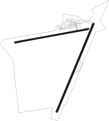
Naracoorte
Airport details
| Country | Australia |
| State | South Australia |
| Region | YM |
| Airspace | Melbourne Ctr |
| Municipality | Naracoorte |
| Elevation | 166ft (51m) |
| Timezone | GMT +10.5 |
| Coordinates | -36.97952, 140.72762 |
| Magnetic var | |
| Type | land |
| Available since | X-Plane v10.40 |
| ICAO code | YNRC |
| IATA code | NAC |
| FAA code | n/a |
Communication
| Naracoorte CTAF | 126.700 |

Nearby beacons
| code | identifier | dist | bearing | frequency |
|---|---|---|---|---|
| BOR | BORDERTOWN NDB | 35.4 | 2° | 251 |
| MTG | MOUNT GAMBIER NDB | 46.4 | 176° | 266 |
Instrument approach procedures
| runway | airway (heading) | route (dist, bearing) |
|---|---|---|
| RW26-Z | NRCEA (248°) | NRCEA 1800ft NRCEI (5mi, 197°) 1800ft |
| RW26-Z | NRCEB (265°) | NRCEB 1800ft NRCEI (5mi, 265°) 1800ft |
| RW26-Z | NRCEC (282°) | NRCEC 1800ft NRCEI (5mi, 329°) 1800ft |
| RNAV | NRCEI 1800ft NRCEF (5mi, 265°) 1800ft NRCEM (5mi, 265°) 302ft NRCEH (3mi, 265°) (7697mi, 285°) 1800ft | |
| RWNVW | NRCWD (68°) | NRCWD 1800ft NRCWI (5mi, 17°) 1800ft |
| RWNVW | NRCWE (85°) | NRCWE 1800ft NRCWI (5mi, 85°) 1800ft |
| RWNVW | NRCWG (102°) | NRCWG 1800ft NRCWI (5mi, 149°) 1800ft |
| RNAV | NRCWI 1800ft NRCWF (5mi, 85°) 1800ft NRCWM (5mi, 85°) 216ft NRCWH (4mi, 85°) (7702mi, 285°) 1800ft |
Disclaimer
The information on this website is not for real aviation. Use this data with the X-Plane flight simulator only! Data taken with kind consent from X-Plane 12 source code and data files. Content is subject to change without notice.