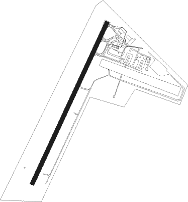
Port Macquarie
Airport details
| Country | Australia |
| State | New South Wales |
| Region | YB |
| Airspace | Brisbane Ctr |
| Municipality | Port Macquarie |
| Elevation | 12ft (4m) |
| Timezone | GMT +10 |
| Coordinates | -31.43301, 152.86642 |
| Magnetic var | |
| Type | land |
| Available since | X-Plane v10.40 |
| ICAO code | YPMQ |
| IATA code | PQQ |
| FAA code | n/a |
Communication
| Port Macquarie PORT MAQUARIE AWIS | 128.450 |
| Port Macquarie PORT MACQUARIE MULT | 118.100 |
| Port Macquarie ACTIVATE LIGHTS ONLY MULT | 122.300 |
| Port Macquarie BRISBANE CNTR | 120.550 |
| Port Macquarie BRISBANE CNTR DepartureARTURE | 120.550 |
Nearby Points of Interest:
Macleay River railway bridge, Kempsey
-Kempsey Post Office
-St Andrew's Presbyterian Church and Hall, Kempsey
Nearby beacons
| code | identifier | dist | bearing | frequency |
|---|---|---|---|---|
| PMQ | PORT MACQUARIE NDB | 0.1 | 173° | 395 |
Instrument approach procedures
| runway | airway (heading) | route (dist, bearing) |
|---|---|---|
| RW03 | PQQSA (11°) | PQQSA 4100ft PQQSI (5mi, 315°) 3240ft |
| RW03 | PQQSB (34°) | PQQSB 4100ft PQQSI (5mi, 34°) 3240ft |
| RW03 | PQQSC (61°) | PQQSC 4100ft PQQSI (7mi, 98°) 3240ft |
| RNAV | PQQSI 3240ft PQQSF (5mi, 34°) 1650ft YPMQ (6mi, 35°) 62ft PQQSH (2mi, 30°) (8375mi, 282°) 3000ft | |
| RW21 | PQQND (182°) | PQQND 5300ft PQQNI (7mi, 135°) 3000ft |
| RW21 | PQQNE (213°) | PQQNE 3000ft PQQNI (5mi, 214°) 3000ft |
| RW21 | PQQNG (235°) | PQQNG 3000ft PQQNI (5mi, 278°) 3000ft |
| RNAV | PQQNI 3000ft PQQNF (5mi, 214°) 1650ft YPMQ (5mi, 212°) 65ft PQQNH (3mi, 216°) (8370mi, 282°) 3000ft |
Disclaimer
The information on this website is not for real aviation. Use this data with the X-Plane flight simulator only! Data taken with kind consent from X-Plane 12 source code and data files. Content is subject to change without notice.