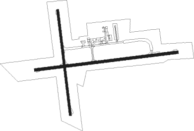
Portland
Airport details
| Country | Australia |
| State | Victoria |
| Region | YM |
| Airspace | Melbourne Ctr |
| Municipality | Shire of Glenelg |
| Elevation | 264ft (80m) |
| Timezone | GMT +10 |
| Coordinates | -38.31805, 141.47112 |
| Magnetic var | |
| Type | land |
| Available since | X-Plane v10.40 |
| ICAO code | YPOD |
| IATA code | PTJ |
| FAA code | n/a |
Communication
| Portland CTAF | 127.950 |

Nearby beacons
| code | identifier | dist | bearing | frequency |
|---|---|---|---|---|
| MTG | MOUNT GAMBIER VOR | 47 | 310° | 117 |
| MTG | MOUNT GAMBIER NDB | 47.1 | 309° | 266 |
| HML | HAMILTON NDB | 48.8 | 41° | 203 |
Instrument approach procedures
| runway | airway (heading) | route (dist, bearing) |
|---|---|---|
| RW08 | PODWD (71°) | PODWD 2000ft PODWI (5mi, 22°) 2000ft |
| RW08 | PODWE (88°) | PODWE 2000ft PODWI (5mi, 88°) 2000ft |
| RW08 | PODWG (104°) | PODWG 2000ft PODWI (5mi, 152°) 2000ft |
| RNAV | PODWI 2000ft PODWF (5mi, 88°) 2000ft YPOD (6mi, 87°) 306ft PODWH (2mi, 89°) (7681mi, 285°) 2000ft | |
| RW26 | PODEA (251°) | PODEA 2000ft PODEI (5mi, 202°) 2000ft |
| RW26 | PODEB (268°) | PODEB 2000ft PODEI (5mi, 268°) 2000ft |
| RW26 | PODEC (285°) | PODEC 2000ft PODEI (5mi, 332°) 2000ft |
| RNAV | PODEI 2000ft PODEF (5mi, 268°) 1950ft YPOD (6mi, 268°) 311ft PODEH (2mi, 267°) (7677mi, 285°) 2000ft |
Disclaimer
The information on this website is not for real aviation. Use this data with the X-Plane flight simulator only! Data taken with kind consent from X-Plane 12 source code and data files. Content is subject to change without notice.